
Finding, Planning & Navigating Your Summer Adventures

Be it mountain biking, trail running, hiking or mountaineering, we've come up with the ultimate guide on how to use FATMAP for your summer adventures!
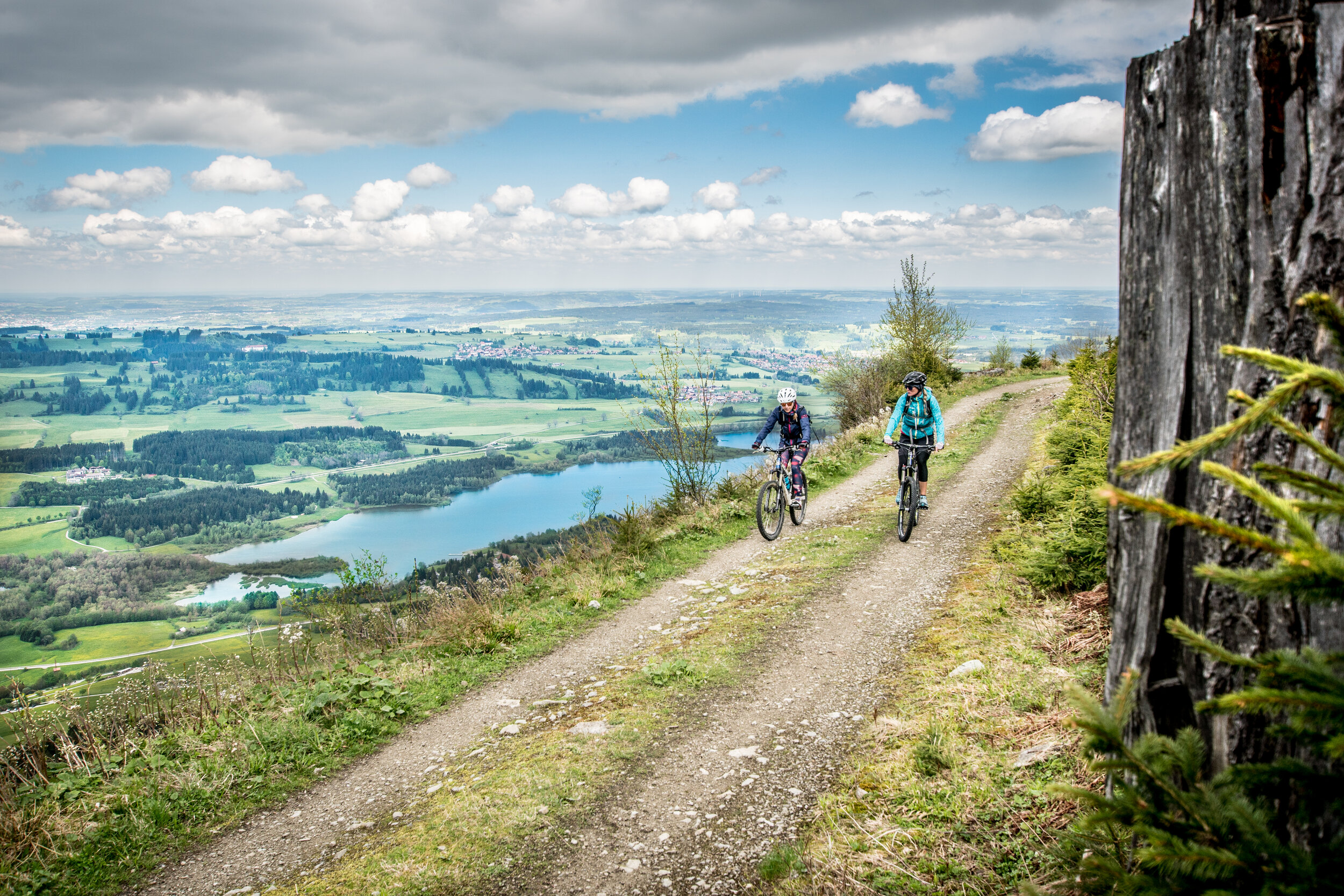
Cover photo: Jamie Barrow ready to drop into the trails in St Moritz, by Jon Williams
Whether you’re craving an adrenaline rush or need a hit of exercised-induced endorphins, there’s no better way to get your fix than getting out on some summer adventures!
With FATMAP, you have all the tools you need to plan, create, navigate and share your trips!
PLANNING
It can be tricky finding the perfect adventure that fits exactly what you have in mind, or perhaps you’re simply looking for some inspiration but there’s so much choice out there you don’t know what to pick.
First off it’s usually duration: you might only have a few hours, or maybe the whole weekend or even a week-long holiday planned. Then you’ll want to narrow it down by a certain distance, amount of elevation gain, or maximum gradient, but ideally, you need a detailed description and photos to really prepare for what's coming up.
Luckily, with both the FATMAP app and website, you can do all of these things!

Using the Search tool, you can find destinations, towns, mountains, trails and Guidebooks. Using the filtering options, you can even narrow down your search by activity type, difficulty and whether you want to see just the routes created by our experts (FATMAP Select) or also those created by the whole community.
> FAQ: How can I search on FATMAP? <
When you've found a particular Route, you'll see all the stats, including how close the adventure is, the difficulty, length, ascent, elevation gain and loss, and maximum gradient.
NOTE: All FATMAP Select routes are created by our Local Experts and will have a high level of detail and information. You can choose to only show Select content by turning off Community Content in the filters option.
On the map itself, our variety of tools and overlays allow you to really dig deep into the terrain and understand the route more intimately. From elevation, gradient and aspect, to webcams and travel distance layers.
FATMAP Explore members have access to even more, including snow layers, resort status, custom terrain tools, and topo maps.
>Blog: Introducing FATMAP Explore<
FATMAP Guidebooks are collections of routes that we've hand picked, usually based around a certain activity or location. If you've already got an idea of the location and what you want to do, they are a great resource to find new trails and be inspired!
TIP: On the FATMAP app, you can save routes to your own personal collections called "My Guidebooks", just like creating a music playlist. Simply tap the save button on the top right-hand side of the screen when you have a route selected and add it to a new or existing Guidebook.
CREATING
A lot of the time, you'll just want to create the route yourself and you can do this on the FATMAP website by either drawing the route or uploading a GPX files.
When drawing the route, our Snap To feature makes life a whole lot easier. When Snap To is turned on, you'll see that the route you're drawing will stick to the trails for you, meaning you don't need to keep placing points at each turn, saving you a lot of time.
>FAQ: How to use Snap To when drawing adventures<
After you've drawn or uploaded your route, you can add a title, description, photos and much more. You have the choice to keep the route private or publish it publicly for the whole community to see.
Once saved, the route will automatically synchronise across to the FATMAP app, so you'll have it with you on the go!
NOTE: Keep in mind that when publishing a route, you'll need to add a certain level of detail so that it's useful to other users.
NAVIGATING
Importantly, when you're out on the trails, you can use the FATMAP app to see your exact location (just make sure you've enabled this in the location settings on your phone).
Tap the position icon on the bottom right hand side of the screen (a red circle) and the map will jump to your position.
Your position will appear as a red dot on the map and if you tap the position icon again, it will go into lock-and-follow mode, rotating the map according to the direction you are facing.
>Blog: Introducing 'lock-and-follow' mode for easy navigation<
We’re also very excited with the recent introduction of the Record function in the FATMAP app, allowing you track your adventures! We’ve got the full low-down on that in our blog post here.

With both the FATMAP web and app, you can drop a Waypoint on the map and it will reveal the exact location and elevation at that position. You can also save it - very useful for marking POIs such as viewpoints, huts and other trail information.
Your waypoints are saved in your Profile and will synchronise to all your devices.
TIP: tap on any peak, hut or destination on the map and a waypoint will be automatically created for you, which you can choose to save if you want.
FATMAP Explore members get the added advantage of being able to download offline maps to their mobile. This includes all routes and waypoints in the downloaded area.
SHARING
Half the fun is in the sharing!
We've made it easier than ever to share your routes, simply tap or click on the Share button on the route or Guidebook and take your pick of social media channels or messages to share to.
TIP: You can also share your Waypoints and Guidebooks (your own saved collections of routes), especially useful if you're sharing ideas or an itinerary with riding buddies.
We’d love to hear how you’re using FATMAP for any of your adventures, or simply any feedback you have to help us improve! Simply leave a comment below or reach out to us hello@fatmap.com.
Happy riding out there!
Jon and Team FATMAP